-
2-3 stars hotels (in some places best available)
-
Islamabad
-
Islamabad
-
Guided
-
English
-
Breakfast, lunch and dinner (normally included)
-
Yes
-
Car or Van/ grand Cabin 13 seats or Coaster/minibus, 21seats (4x 4 classical jeeps)
-
18
-
75
YASIN THUI PASS TREK
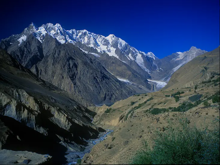
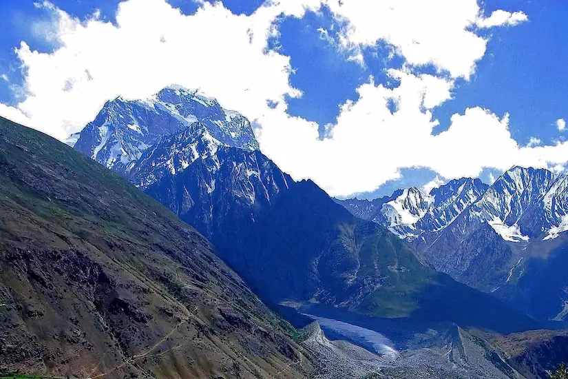
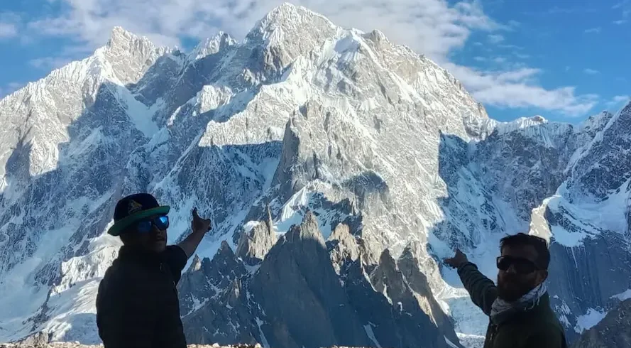
Thui An (4500m) crosses the Shandur Range, a branch of the Hind Raj Range, between the Yasin and Yarkhun valleys. The trek offers dramatic close-up views of 6000m peaks, lovely alpine meadows, and the opportunity
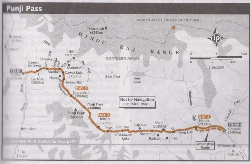
to meet the Burushaski- speaking people of the beautiful Thui Valley, as well as the Khowar speakers of the Gazin Gol. Thui Gol branches west off the Yasin Valley above Taus. The Thui An is a deservedly popular trek and is the most frequently trekked route between Ghizar and Chitral. The trek can be done in either direction; this description is from east to west. It’s often combined with other open-zone treks. It can be preceded by the Asumbar Haghost trek (p) and followed by the Shah Jinali An trek (p). Done in the reserve direction (west to east), it can be combined with the Zagaro An trek (p) to make a near loop. An outstanding and popular traverse over a relatively easy pass, surrounded by tumbling glaciers and jagged 6000m peaks, this trek passes through traditional villages and links Yasin and Chitral.
Higlights
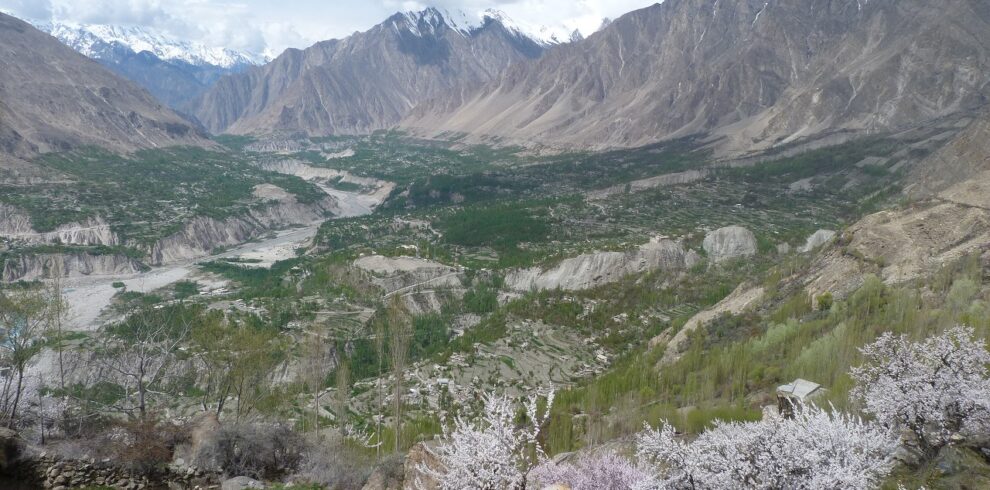
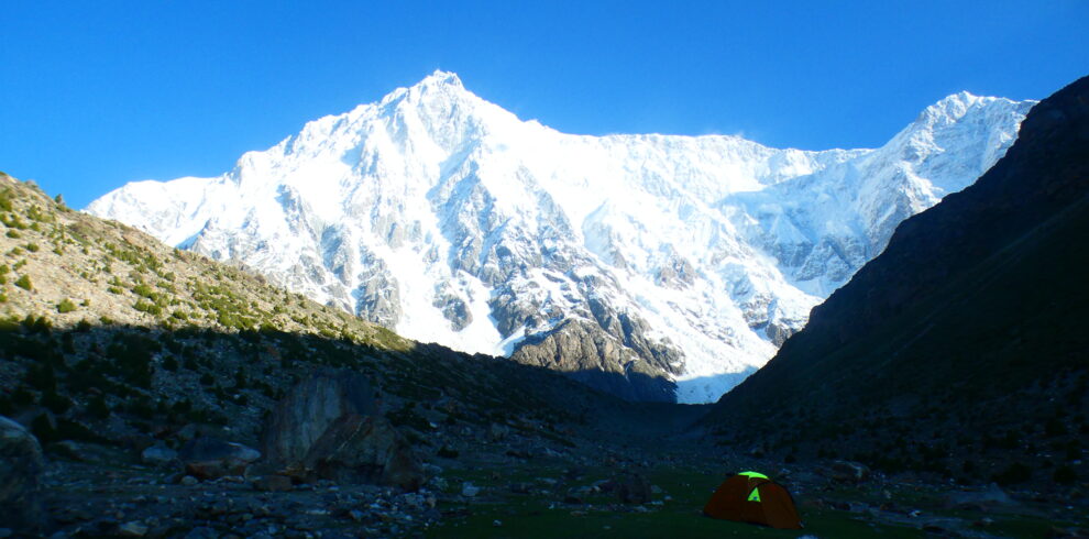
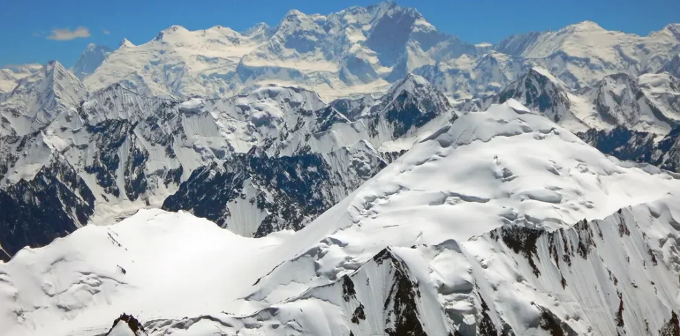
- Scenic Views of the Hindu Kush Range Thui Pass Trek offers stunning views of the Hindu Kush mountain range, including towering snow-capped peaks, deep valleys, and serene landscapes.
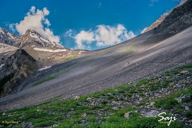
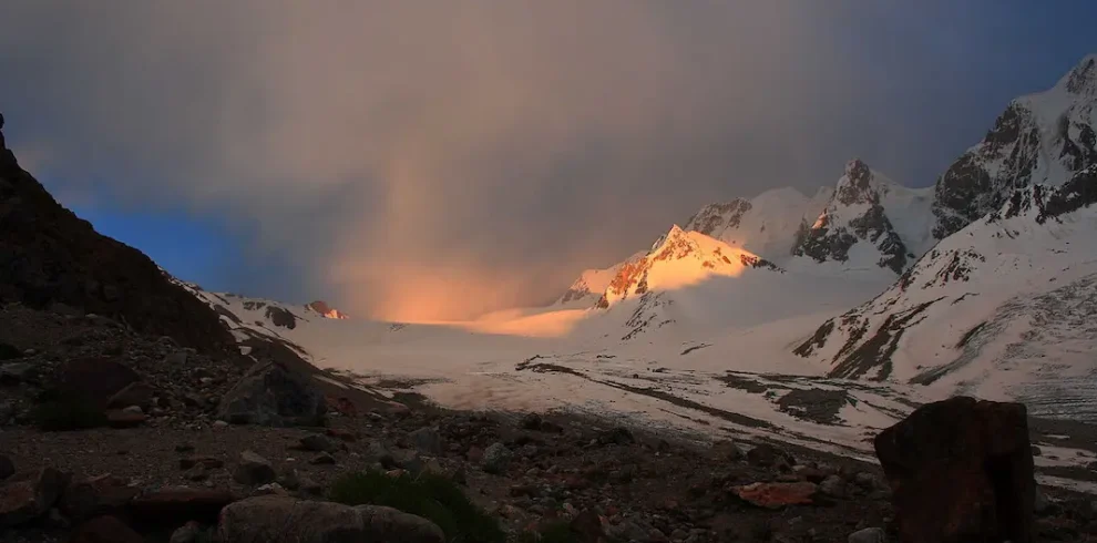
- Remote and Pristine Wilderness The trek takes you through unspoiled nature, far from tourist crowds. You’ll pass through lush meadows, alpine forests, and remote villages, experiencing the raw beauty of the northern Pakistan highlands.
- Crossing the Historic Thui Pass (4,800 meters) The Thui Pass, at an altitude of 4,800 meters, is the highlight of the trek. Crossing this high mountain pass is challenging but rewarding, offering panoramic views of both the Chitral and Yasin valleys.
- Experience of Diverse Cultures The trek allows you to interact with local communities in the Yasin and Chitral valleys. You’ll experience the rich cultural diversity, including the warm hospitality of the Wakhi and Burusho people.

